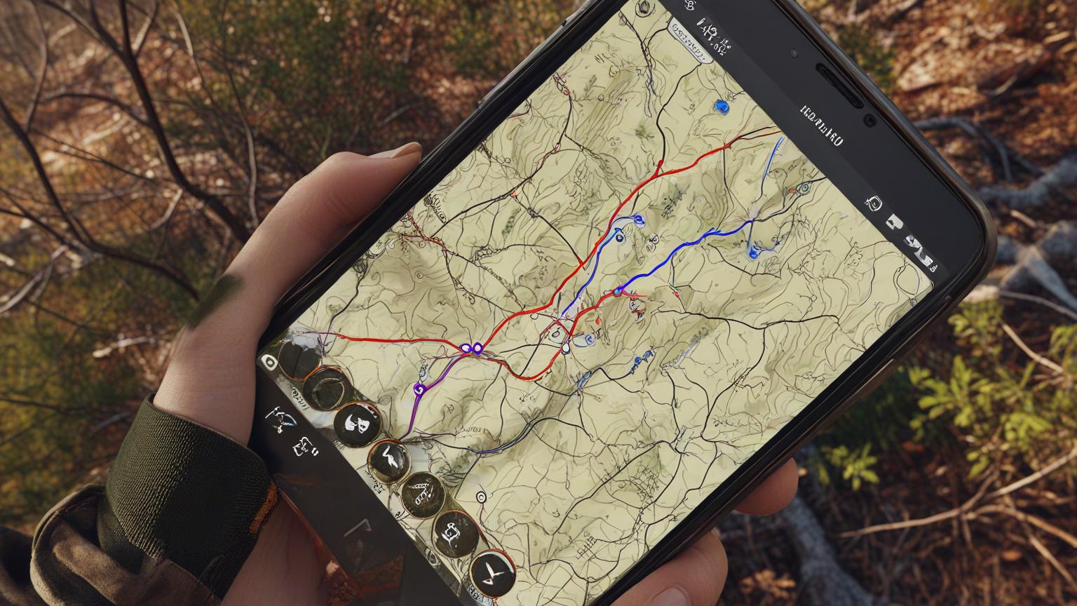
GPS and mapping tools are game-changers for white-tailed deer hunting in Arkansas. From scouting to navigating dense terrain, these tools give hunters the ability to plan precise routes, mark promising spots, and even track deer movement patterns. Here’s a quick guide on how to use GPS and mapping tools to enhance your hunting success in Arkansas.
1. Scouting and Mapping Key Hunting Areas
Apps like onX Hunt and HuntStand allow you to scout Arkansas’ varied landscapes, from dense forests to open fields, right from your phone or tablet. These tools display land boundaries, public and private lands, and critical information about Arkansas’ wildlife management areas.
- Tip: Before heading out, use these apps to identify potential hot spots, such as food sources, water access, or bedding areas. Mark these areas so you can easily return to them later.
2. Tracking Deer Trails and Movement Patterns
Using GPS tools, you can map and follow deer trails, noting where white-tailed deer typically move throughout the day. Apps like BaseMap let you mark trails and track routes, helping you visualize deer pathways and create an effective hunting plan.
- Tip: Mark areas where you see fresh signs, such as rubs, scrapes, or bedding. Over time, these markers can help you understand deer behavior and movement in specific locations.
3. Navigating Arkansas’ Diverse Terrains
Arkansas offers diverse hunting landscapes, including hills, valleys, and dense woods. GPS tools help you navigate these areas safely, even if visibility is limited. Many mapping apps offer offline map features, so you can stay on course even when out of cell service range.
- Tip: Download maps for offline use to ensure you have access to detailed terrain views and topography. This helps you avoid getting lost and enables you to plan routes that are easier to navigate.
4. Using Weather and Wind Direction Features
Many GPS apps, including onX Hunt and ScoutLook, come with integrated weather and wind direction features. Understanding wind direction is essential for setting up stands or blinds since deer are highly sensitive to scent.
- Tip: Use wind direction tools to place your stand downwind from deer trails. By planning around the weather, you’ll increase your chances of remaining undetected.
5. Recording Successful Spots for Future Hunts
When you find a successful hunting spot, mark it in your app. Over time, you’ll build a personalized map of productive locations, which can be invaluable during future hunts or different seasons.
- Tip: Record notes on each spot regarding deer activity, weather, and time of day. These insights can guide your strategies and timing in future hunts.
Conclusion
GPS and mapping tools offer Arkansas deer hunters powerful insights, from scouting and navigation to understanding wind patterns and deer movement. By leveraging apps like onX Hunt, HuntStand, and BaseMap, you’ll be able to make data-driven decisions that increase your chances of a successful white-tailed deer hunt.

